 vesseltracker.com
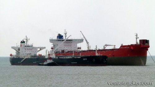
 GEFEST
Current Status
Where is the vessel?
GEFEST is currently in 263 nm SE of SUR, based on AIS data received about 1h ago.
Latest AIS update:
Current position: 20.70224° N, 63.80096° E (263 nm SE of SUR)
Average speed (last 7 days): Loading…
Average speed (last 30 days): Loading…
Vessel profile: GEFEST is a Crude Oil Tanker with dimensions m x m.
This page combines live AIS, route history, probable destination signals, nearby traffic, and port activity for practical vessel monitoring.
The current position of vessel GEFEST is 20.70224 lat / 63.80096 lng. Updated: 2026-05-14 01:56:32 UTCNearest reference points:
- 262 nm SE of SUR
- 224 nm E of SUR
- 231 nm SW of Keti Bandar
Currently sailing under the flag of Russia ![]()
Details:
Live Vessel GEFEST Analytics (details, animations, etc.)
Recent AIS points (UTC):
2026-05-13 22:24:44 UTC · 20.87038, 64.49434 · SOG 11.4 kn · COG 252°2026-05-14 00:07:54 UTC · 20.78876, 64.15747 · SOG 11.3 kn · COG 252°
2026-05-14 01:26:04 UTC · 20.72460, 63.90190 · SOG 11.4 kn · COG 253°
2026-05-14 01:56:32 UTC · 20.70224, 63.80096 · SOG 11.5 kn · COG 254°