 vesseltracker.com
 KLEVER
Current Status
Where is the vessel?
KLEVER is currently in Near Utiel, based on AIS data received about 2h ago.
Latest AIS update:
Current position: 39.71167° N, 11.17833° W (Near Utiel)
Average speed (last 7 days): Loading…
Average speed (last 30 days): Loading…
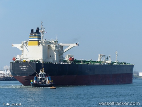
Vessel profile: KLEVER is a Crude Oil Tanker with dimensions m x m.
This page combines live AIS, route history, probable destination signals, nearby traffic, and port activity for practical vessel monitoring.
The current position of vessel KLEVER is 39.71167 lat / -11.17833 lng. Updated: 2026-05-14 19:42:50 UTCNearest reference points:
- 43 nm NW of Utiel
- 25 nm S of Bear River City
- 52 nm W of Canas de Santa Maria
Currently sailing under the flag of Russia ![]()
Details:
Live Vessel KLEVER Analytics (details, animations, etc.)
Recent AIS points (UTC):
2026-05-14 16:34:25 UTC · 40.33587, -11.42277 · SOG 12.6 kn · COG 159°2026-05-14 18:06:19 UTC · 40.02833, -11.29500 · SOG 12 kn · COG -1°
2026-05-14 18:21:21 UTC · 39.98000, -11.27667 · SOG 12 kn · COG -1°
2026-05-14 19:42:50 UTC · 39.71167, -11.17833 · SOG 12 kn · COG -1°