 vesseltracker.com
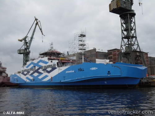
 Toll
Toll
Current Status
Where is the vessel?
Toll is currently in Near Kuivastu, based on AIS data received less than 1h ago.
Latest AIS update:
Current position: 58.57368° N, 23.39573° E (Near Kuivastu)
Average speed (last 7 days): Loading…
Average speed (last 30 days): Loading…
Vessel profile: Toll is a Passenger Ro Ro Cargo Ship with dimensions 112m x 18m.
This page combines live AIS, route history, probable destination signals, nearby traffic, and port activity for practical vessel monitoring.
The current position of vessel Toll is 58.57368 lat / 23.39573 lng. Updated: 2026-05-15 22:08:57 UTCNearest reference points:
- Near Ristna
- Near Mahu Sadam
- Near Tvärminne
Currently sailing under the flag of Estonia ![]()
Details:
Live Vessel Toll Analytics (details, animations, etc.)
Recent AIS points (UTC):
2026-05-15 19:19:21 UTC · 58.57647, 23.49983 · SOG 7 kn · COG 269°2026-05-15 19:30:42 UTC · 58.57603, 23.44920 · SOG 8.7 kn · COG 268°
2026-05-15 21:54:01 UTC · 58.57450, 23.40132 · SOG 6.8 kn · COG 259°
2026-05-15 22:08:57 UTC · 58.57368, 23.39573 · SOG 0 kn · COG 73°