 vesseltracker.com
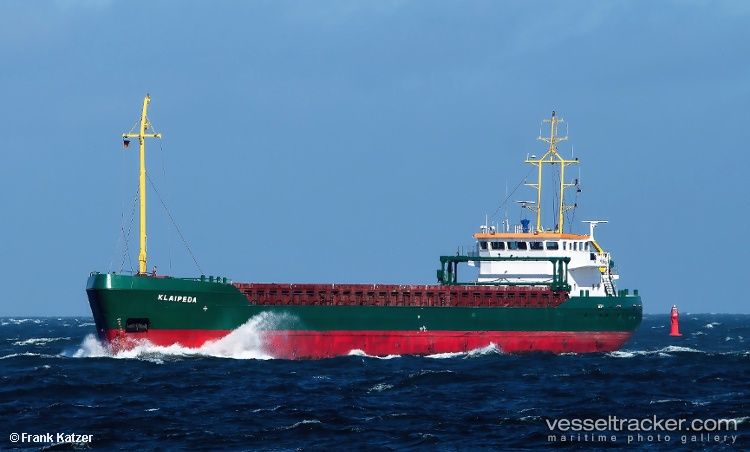
 Klaipeda
Current Status
Where is the vessel?
Klaipeda is currently in 20 nm N of de Ruyter, based on AIS data received less than 1h ago.
Latest AIS update:
Current position: 52.61841° N, 3.87151° E (20 nm N of de Ruyter)
Average speed (last 7 days): Loading…
Average speed (last 30 days): Loading…
Vessel profile: Klaipeda is a General Cargo Ship with dimensions 88m x 13m.
This page combines live AIS, route history, probable destination signals, nearby traffic, and port activity for practical vessel monitoring.
The current position of vessel Klaipeda is 52.61841 lat / 3.87151 lng. Updated: 2026-04-28 16:47:06 UTCNearest reference points:
- 23 nm N of de Ruyter
- 22 nm W of Schoorl
- Near de Ruyter
Currently sailing under the flag of Lithuania ![]()
Klaipeda built in 1995 year
Deadweight:
4068 tDetails:
Live Vessel Klaipeda Analytics (details, animations, etc.)
Recent AIS points (UTC):
2026-04-28 13:28:25 UTC · 52.37814, 3.48398 · SOG 6.3 kn · COG 47°2026-04-28 13:36:35 UTC · 52.38912, 3.50185 · SOG 7.2 kn · COG 47°
2026-04-28 16:10:05 UTC · 52.57854, 3.80673 · SOG 5.7 kn · COG 41°
2026-04-28 16:47:06 UTC · 52.61841, 3.87151 · SOG 5.2 kn · COG 42°