 vesseltracker.com
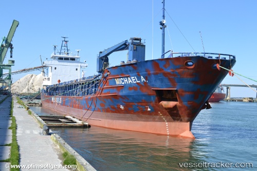
Michael A.
Current StatusWhere is the vessel?
Michael A. is currently in 131 nm NW of Isla de Margarita, based on AIS data received less than 1h ago.
Latest AIS update:
Current position: 12.96721° N, 64.96151° W (131 nm NW of Isla de Margarita)
Average speed (last 7 days): Loading…
Average speed (last 30 days): Loading…
Vessel profile: Michael A. is a Multi Purpose Carrier with dimensions 13m x 88m.
This page combines live AIS, route history, probable destination signals, nearby traffic, and port activity for practical vessel monitoring.
The current position of vessel Michael A. is 12.96721 lat / -64.96151 lng. Updated: 2026-04-25 21:43:46 UTCNearest reference points:
- 15 nm SW of Punta de Piedras
- Near Puerto Sucre
Details:
Live Vessel Michael A. Analytics (details, animations, etc.)
Recent AIS points (UTC):
2026-04-25 17:02:18 UTC · 13.21027, -64.18606 · SOG 10.6 kn · COG 246°2026-04-25 18:37:00 UTC · 13.13149, -64.45882 · SOG 10.4 kn · COG 246°
2026-04-25 19:00:31 UTC · 13.11190, -64.52522 · SOG 10.2 kn · COG 244°
2026-04-25 21:43:46 UTC · 12.96721, -64.96151 · SOG 9.6 kn · COG 241°