 vesseltracker.com
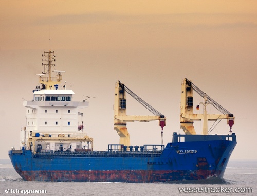
 ALTO
ALTO
Current Status
Where is the vessel?
ALTO is currently in 12 nm N of Buildwas, based on AIS data received less than 1h ago.
Latest AIS update:
Current position: 58.83039° N, 2.40752° W (12 nm N of Buildwas)
Average speed (last 7 days): Loading…
Average speed (last 30 days): Loading…
Vessel profile: ALTO is a General Cargo with dimensions m x m.
This page combines live AIS, route history, probable destination signals, nearby traffic, and port activity for practical vessel monitoring.
The current position of vessel ALTO is 58.83039 lat / -2.40752 lng. Updated: 2026-05-16 13:26:31 UTCNearest reference points:
- Near Tingwall
- Near Staxigoe
- Near STROMNESS
Currently sailing under the flag of Antigua and Barbuda ![]()
Details:
Live Vessel ALTO Analytics (details, animations, etc.)
Recent AIS points (UTC):
2026-05-16 10:09:46 UTC · 59.16816, -1.28799 · SOG 11.9 kn · COG 240°2026-05-16 12:12:36 UTC · 58.92637, -1.95627 · SOG 12.4 kn · COG 235°
2026-05-16 13:12:15 UTC · 58.84699, -2.32130 · SOG 12.2 kn · COG 249°
2026-05-16 13:26:31 UTC · 58.83039, -2.40752 · SOG 12.3 kn · COG 247°