 vesseltracker.com
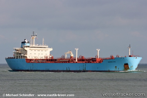
 SIYA RAM
Current Status
Where is the vessel?
SIYA RAM is currently in 18 nm E of Bnei Darom, based on AIS data received about 1h ago.
Latest AIS update:
Current position: 31.72750° N, 32.00982° E (18 nm E of Bnei Darom)
Average speed (last 7 days): Loading…
Average speed (last 30 days): Loading…
Vessel profile: SIYA RAM is a Oil Products Tanker with dimensions m x m.
This page combines live AIS, route history, probable destination signals, nearby traffic, and port activity for practical vessel monitoring.
The current position of vessel SIYA RAM is 31.72750 lat / 32.00982 lng. Updated: 2026-04-30 18:00:14 UTCNearest reference points:
- 21 nm N of Port Said
- 15 nm N of Port Said
- 16 nm N of Port Said
Currently sailing under the flag of Antigua and Barbuda ![]()
Details:
Live Vessel SIYA RAM Analytics (details, animations, etc.)
Recent AIS points (UTC):
2026-04-30 14:03:10 UTC · 31.22712, 32.34562 · SOG 8.9 kn · COG 12°2026-04-30 16:17:03 UTC · 31.52168, 32.25164 · SOG 10 kn · COG 311°
2026-04-30 16:46:27 UTC · 31.57848, 32.18292 · SOG 9.9 kn · COG 317°
2026-04-30 18:00:14 UTC · 31.72750, 32.00982 · SOG 11.7 kn · COG 313°