 vesseltracker.com
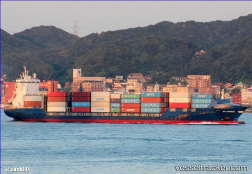
 CHS ALPHA
Current Status
Where is the vessel?
CHS ALPHA is currently in 17 nm N of Port Said, based on AIS data received less than 1h ago.
Latest AIS update:
Current position: 31.54620° N, 32.40075° E (17 nm N of Port Said)
Average speed (last 7 days): Loading…
Average speed (last 30 days): Loading…
Vessel profile: CHS ALPHA is a Container Ship with dimensions m x m.
This page combines live AIS, route history, probable destination signals, nearby traffic, and port activity for practical vessel monitoring.
The current position of vessel CHS ALPHA is 31.54620 lat / 32.40075 lng. Updated: 2026-05-14 21:33:16 UTCNearest reference points:
- 16 nm N of Port Said
- 14 nm N of Port Said
- 15 nm N of Port Said
Currently sailing under the flag of Antigua and Barbuda ![]()
Details:
Live Vessel CHS ALPHA Analytics (details, animations, etc.)
Recent AIS points (UTC):
2026-05-14 18:16:46 UTC · 31.54574, 32.40000 · SOG 0 kn · COG 347°2026-05-14 19:40:45 UTC · 31.54577, 32.40006 · SOG 0 kn · COG 345°
2026-05-14 19:46:43 UTC · 31.54575, 32.39993 · SOG 0 kn · COG 351°
2026-05-14 21:33:16 UTC · 31.54620, 32.40075 · SOG 0 kn · COG 315°