 vesseltracker.com
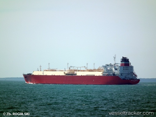
 QUEEN CASSIOPEIA
Current Status
Where is the vessel?
QUEEN CASSIOPEIA is currently in Near JURONG ISLAND, based on AIS data received about 28d ago.
Latest AIS update:
Current position: 1.18524° N, 103.68261° E (Near JURONG ISLAND)
Average speed (last 7 days): Loading…
Average speed (last 30 days): Loading…
Vessel profile: QUEEN CASSIOPEIA is a Lng Tanker with dimensions m x m.
This page combines live AIS, route history, probable destination signals, nearby traffic, and port activity for practical vessel monitoring.
The current position of vessel QUEEN CASSIOPEIA is 1.18524 lat / 103.68261 lng. Updated: 2026-04-18 07:01:05 UTCNearest reference points:
- Near JURONG ISLAND
- Near BUKOM ISLAND
- Near Pulau Ayer Chawan
Currently sailing under the flag of Antigua and Barbuda ![]()
Details:
Live Vessel QUEEN CASSIOPEIA Analytics (details, animations, etc.)
Recent AIS points (UTC):
2026-04-18 07:01:05 UTC · 1.18524, 103.68261 · SOG 0 kn · COG -1°