 vesseltracker.com
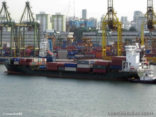
 Unisky
Current Status
Where is the vessel?
Unisky is currently in 177 nm SE of Gopalpur, based on AIS data received less than 1h ago.
Latest AIS update:
Current position: 17.02500° N, 86.93500° E (177 nm SE of Gopalpur)
Average speed (last 7 days): Loading…
Average speed (last 30 days): Loading…
Vessel profile: Unisky is a Container Ship with dimensions 155m x 155m.
This page combines live AIS, route history, probable destination signals, nearby traffic, and port activity for practical vessel monitoring.
The current position of vessel Unisky is 17.02500 lat / 86.93500 lng. Updated: 2026-05-15 03:33:28 UTCNearest reference points:
- 112 nm SE of Gopalpur
- Near Gopalpur
Currently sailing under the flag of Antigua Barbuda ![]()
Unisky built in 2009 year
Deadweight:
10600 tDetails:
Live Vessel Unisky Analytics (details, animations, etc.)
Recent AIS points (UTC):
2026-05-14 21:36:27 UTC · 18.35500, 87.45667 · SOG 14 kn · COG -1°2026-05-14 22:48:26 UTC · 18.06667, 87.37167 · SOG 14 kn · COG -1°
2026-05-14 23:57:25 UTC · 17.79167, 87.28833 · SOG 14 kn · COG -1°
2026-05-15 03:33:28 UTC · 17.02500, 86.93500 · SOG 13 kn · COG -1°