 vesseltracker.com
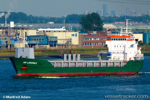
 KAURI
KAURI
Current Status
Where is the vessel?
KAURI is currently in Near Muuga, based on AIS data received about 1h ago.
Latest AIS update:
Current position: 59.49649° N, 24.94733° E (Near Muuga)
Average speed (last 7 days): Loading…
Average speed (last 30 days): Loading…
Vessel profile: KAURI is a General Cargo with dimensions 106m x 14m.
This page combines live AIS, route history, probable destination signals, nearby traffic, and port activity for practical vessel monitoring.
The current position of vessel KAURI is 59.49649 lat / 24.94733 lng. Updated: 2026-04-08 13:53:49 UTCNearest reference points:
- Near Mölgi
- Near Vanasadam
- Near Aegna
Currently sailing under the flag of Antigua Barbuda ![]()
KAURI built in 1998 year
Deadweight:
4951 tDetails:
Live Vessel KAURI Analytics (details, animations, etc.)
Recent AIS points (UTC):
2026-04-08 08:12:52 UTC · 59.49647, 24.94737 · SOG 0 kn · COG 42°2026-04-08 10:09:43 UTC · 59.49647, 24.94742 · SOG 0 kn · COG 41°
2026-04-08 12:21:50 UTC · 59.49647, 24.94742 · SOG 0 kn · COG 41°
2026-04-08 13:53:49 UTC · 59.49649, 24.94733 · SOG 0 kn · COG 41°