 vesseltracker.com
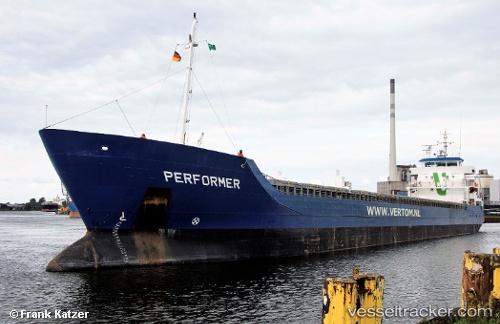
 KATRE
KATRE
Current Status
Where is the vessel?
KATRE is currently in Near BOULOGNE-SUR-MER, based on AIS data received less than 1h ago.
Latest AIS update:
Current position: 50.72511° N, 1.57344° E (Near BOULOGNE-SUR-MER)
Average speed (last 7 days): Loading…
Average speed (last 30 days): Loading…
Vessel profile: KATRE is a General Cargo with dimensions m x m.
This page combines live AIS, route history, probable destination signals, nearby traffic, and port activity for practical vessel monitoring.
The current position of vessel KATRE is 50.72511 lat / 1.57344 lng. Updated: 2026-04-24 07:00:31 UTCNearest reference points:
- Near BOULOGNE-SUR-MER
- Near Le Portel
- Near Sangatte
Currently sailing under the flag of Antigua and Barbuda ![]()
Details:
Live Vessel KATRE Analytics (details, animations, etc.)
Recent AIS points (UTC):
2026-04-24 03:48:25 UTC · 50.72513, 1.57337 · SOG 0 kn · COG 16°2026-04-24 04:30:28 UTC · 50.72509, 1.57345 · SOG 0 kn · COG 16°
2026-04-24 05:54:31 UTC · 50.72516, 1.57345 · SOG 0 kn · COG 16°
2026-04-24 07:00:31 UTC · 50.72511, 1.57344 · SOG 0 kn · COG 16°