 vesseltracker.com
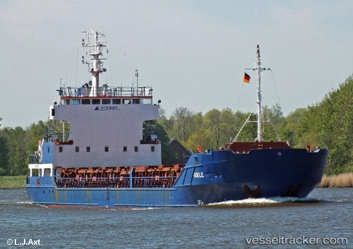
 GT VELA
Current Status
Where is the vessel?
GT VELA is currently in 38 nm N of Neeltje Jans, based on AIS data received about 1h ago.
Latest AIS update:
Current position: 54.22333° N, 4.09500° E (38 nm N of Neeltje Jans)
Average speed (last 7 days): Loading…
Average speed (last 30 days): Loading…
Vessel profile: GT VELA is a General Cargo Ship with dimensions 90m x 13m.
This page combines live AIS, route history, probable destination signals, nearby traffic, and port activity for practical vessel monitoring.
The current position of vessel GT VELA is 54.22333 lat / 4.09500 lng. Updated: 2026-04-25 14:16:34 UTCNearest reference points:
- Near Neeltje Jans
- 19 nm NW of Neeltje Jans
- Near Molengat
Currently sailing under the flag of Antigua and Barbuda ![]()
GT VELA built in 1991 year
Deadweight:
3269 tDetails:
Live Vessel GT VELA Analytics (details, animations, etc.)
Recent AIS points (UTC):
2026-04-25 10:50:06 UTC · 53.90751, 3.57401 · SOG 10.3 kn · COG 82°2026-04-25 12:08:16 UTC · 53.94711, 3.93521 · SOG 10.1 kn · COG 78°
2026-04-25 13:26:25 UTC · 54.10059, 4.06585 · SOG 9.1 kn · COG 7°
2026-04-25 14:16:34 UTC · 54.22333, 4.09500 · SOG 9 kn · COG -1°