 vesseltracker.com
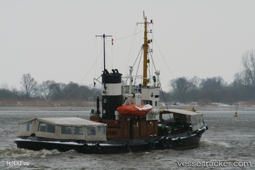
 GOLIATH
Current Status
Where is the vessel?
GOLIATH is currently in Near St. John’S, based on AIS data received less than 1h ago.
Latest AIS update:
Current position: 17.17923° N, 61.93554° W (Near St. John’S)
Average speed (last 7 days): Loading…
Average speed (last 30 days): Loading…
Vessel profile: GOLIATH is a Towing with dimensions m x m.
This page combines live AIS, route history, probable destination signals, nearby traffic, and port activity for practical vessel monitoring.
The current position of vessel GOLIATH is 17.17923 lat / -61.93554 lng. Updated: 2026-05-14 03:52:59 UTCNearest reference points:
- Near Saint John's
- Near ANTIGUA
- Near Pointe A Pitre
Currently sailing under the flag of Curacao ![]()
Details:
Live Vessel GOLIATH Analytics (details, animations, etc.)
Recent AIS points (UTC):
2026-05-14 00:55:05 UTC · 17.15167, -61.78667 · SOG 0 kn · COG -1°2026-05-14 00:55:05 UTC · 17.15167, -61.78667 · SOG 0 kn · COG -1°
2026-05-14 03:25:54 UTC · 17.17526, -61.88349 · SOG 6.4 kn · COG 260°
2026-05-14 03:52:59 UTC · 17.17923, -61.93554 · SOG 6.9 kn · COG 281°