 vesseltracker.com
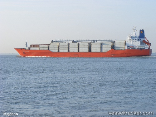
Charles Island
Current StatusWhere is the vessel?
Charles Island is currently in 14 nm S of Eastbourne, based on AIS data received about 2h ago.
Latest AIS update:
Current position: 50.53715° N, 0.31864° E (14 nm S of Eastbourne)
Average speed (last 7 days): Loading…
Average speed (last 30 days): Loading…
Vessel profile: Charles Island is a Refrigerated Cargo Ship with dimensions 25m x 180m.
This page combines live AIS, route history, probable destination signals, nearby traffic, and port activity for practical vessel monitoring.
The current position of vessel Charles Island is 50.53715 lat / 0.31864 lng. Updated: 2026-05-15 01:15:54 UTCNearest reference points:
- 23 nm S of Poling
- Near Saint Leonards-on-Sea
- 27 nm S of Seaford
Details:
Live Vessel Charles Island Analytics (details, animations, etc.)
Recent AIS points (UTC):
2026-05-14 22:01:06 UTC · 51.02747, 1.36055 · SOG 14.2 kn · COG 234°2026-05-14 22:37:30 UTC · 50.93197, 1.18224 · SOG 15.2 kn · COG 231°
2026-05-14 23:58:55 UTC · 50.70053, 0.76667 · SOG 16.2 kn · COG 232°
2026-05-15 01:15:54 UTC · 50.53715, 0.31864 · SOG 16 kn · COG 256°