 vesseltracker.com
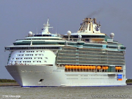
 Independence Of Seas
Current Status
Where is the vessel?
Independence Of Seas is currently in 26 nm SE of Mastic Beach, based on AIS data received about 1h ago.
Latest AIS update:
Current position: 40.35661° N, 72.59758° W (26 nm SE of Mastic Beach)
Average speed (last 7 days): Loading…
Average speed (last 30 days): Loading…
Vessel profile: Independence Of Seas is a Cruise Ship with dimensions 339m x 38m.
This page combines live AIS, route history, probable destination signals, nearby traffic, and port activity for practical vessel monitoring.
The current position of vessel Independence Of Seas is 40.35661 lat / -72.59758 lng. Updated: 2026-04-29 02:00:26 UTCNearest reference points:
- Near Springville, Suffolk
- Near PLUM ISLAND
- Near Southport
Currently sailing under the flag of Bahamas ![]()
Independence Of Seas built in 2008 year
Deadweight:
10600 tDetails:
Live Vessel Independence Of Seas Analytics (details, animations, etc.)
Recent AIS points (UTC):
2026-04-28 22:03:26 UTC · 40.43347, -73.81236 · SOG 9.8 kn · COG 105°2026-04-28 23:40:26 UTC · 40.40451, -73.45183 · SOG 16.2 kn · COG 98°
2026-04-29 01:48:26 UTC · 40.35170, -72.67108 · SOG 16.9 kn · COG 84°
2026-04-29 02:00:26 UTC · 40.35661, -72.59758 · SOG 17 kn · COG 84°