 vesseltracker.com
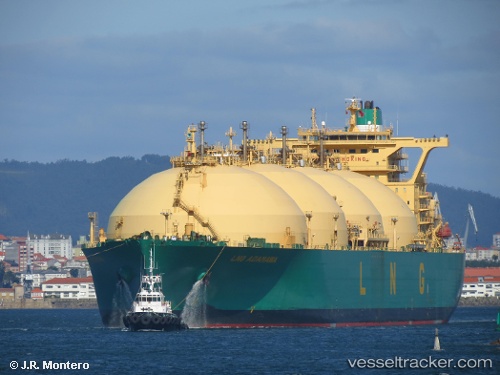
Lng Adamawa
Current StatusWhere is the vessel?
Lng Adamawa is currently in 153 nm W of San Antonio de Palé, based on AIS data received about 2h ago.
Latest AIS update:
Current position: 1.03171° S, 3.08018° E (153 nm W of San Antonio de Palé)
Average speed (last 7 days): Loading…
Average speed (last 30 days): Loading…
Vessel profile: Lng Adamawa is a Lng Tanker with dimensions 48m x 288m.
This page combines live AIS, route history, probable destination signals, nearby traffic, and port activity for practical vessel monitoring.
The current position of vessel Lng Adamawa is -1.03171 lat / 3.08018 lng. Updated: 2026-04-28 13:32:24 UTCNearest reference points:
- 138 nm E of SAO LUIS
Details:
Live Vessel Lng Adamawa Analytics (details, animations, etc.)
Recent AIS points (UTC):
2026-04-28 10:42:47 UTC · -1.71492, 3.06399 · SOG 15 kn · COG 3°2026-04-28 11:20:57 UTC · -1.55333, 3.06500 · SOG 15 kn · COG -1°
2026-04-28 13:20:56 UTC · -1.07833, 3.07833 · SOG 15 kn · COG -1°
2026-04-28 13:32:24 UTC · -1.03171, 3.08018 · SOG 14.9 kn · COG 3°