 vesseltracker.com
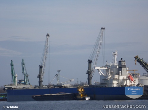
 Btg Rainier
Current Status
Where is the vessel?
Btg Rainier is currently in 42 nm W of Nosy-Be, based on AIS data received about 1h ago.
Latest AIS update:
Current position: 13.07333° S, 47.59167° E (42 nm W of Nosy-Be)
Average speed (last 7 days): Loading…
Average speed (last 30 days): Loading…
Vessel profile: Btg Rainier is a Bulk Carrier with dimensions 229m x 229m.
This page combines live AIS, route history, probable destination signals, nearby traffic, and port activity for practical vessel monitoring.
The current position of vessel Btg Rainier is -13.07333 lat / 47.59167 lng. Updated: 2026-04-29 02:02:11 UTCNearest reference points:
- 14 nm SW of Nosy-Be
- 103 nm E of Nosy-Be
Currently sailing under the flag of Bahamas ![]()
Details:
Live Vessel Btg Rainier Analytics (details, animations, etc.)
Recent AIS points (UTC):
2026-04-28 22:24:31 UTC · -13.51422, 47.00223 · SOG 12.4 kn · COG 56°2026-04-29 00:05:12 UTC · -13.29500, 47.27333 · SOG 11 kn · COG -1°
2026-04-29 01:39:54 UTC · -13.11286, 47.53096 · SOG 11.5 kn · COG 55°
2026-04-29 02:02:11 UTC · -13.07333, 47.59167 · SOG 11 kn · COG -1°