 vesseltracker.com
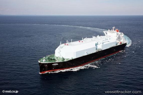
 Lng Juno
Current Status
Where is the vessel?
Lng Juno is currently in 222 nm SW of Southampton, based on AIS data received about 1h ago.
Latest AIS update:
Current position: 29.45833° N, 67.66833° W (222 nm SW of Southampton)
Average speed (last 7 days): Loading…
Average speed (last 30 days): Loading…
Vessel profile: Lng Juno is a Lng Tanker with dimensions 298m x 298m.
This page combines live AIS, route history, probable destination signals, nearby traffic, and port activity for practical vessel monitoring.
The current position of vessel Lng Juno is 29.45833 lat / -67.66833 lng. Updated: 2026-05-16 11:29:30 UTCNearest reference points:
- 150 nm S of Ben Slimane
Currently sailing under the flag of Bahamas ![]()
Details:
Live Vessel Lng Juno Analytics (details, animations, etc.)
Recent AIS points (UTC):
2026-05-16 08:14:26 UTC · 29.76500, -66.85333 · SOG 14 kn · COG -1°2026-05-16 09:50:29 UTC · 29.61833, -67.26833 · SOG 14 kn · COG -1°
2026-05-16 10:47:28 UTC · 29.52667, -67.50333 · SOG 13 kn · COG -1°
2026-05-16 11:29:30 UTC · 29.45833, -67.66833 · SOG 13 kn · COG -1°