 vesseltracker.com
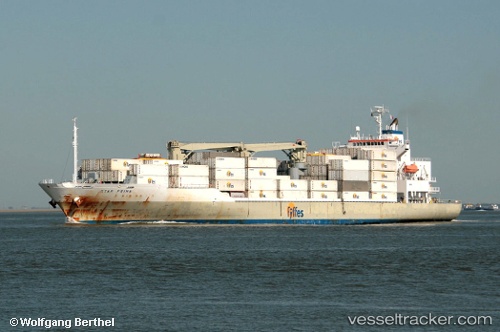
 STAR PRIMA
Current Status
Where is the vessel?
STAR PRIMA is currently in Near Almirante, based on AIS data received about 2h ago.
Latest AIS update:
Current position: 9.28790° N, 82.39120° W (Near Almirante)
Average speed (last 7 days): Loading…
Average speed (last 30 days): Loading…
Vessel profile: STAR PRIMA is a Refrigerated Cargo Ship with dimensions 162m x 163m.
This page combines live AIS, route history, probable destination signals, nearby traffic, and port activity for practical vessel monitoring.
The current position of vessel STAR PRIMA is 9.28790 lat / -82.39120 lng. Updated: 2026-05-15 13:47:58 UTCNearest reference points:
- Near Chiriquí Grande
- Near Colon
- Near Fuerte Davis
Currently sailing under the flag of Bahamas ![]()
STAR PRIMA built in 2006 year
Deadweight:
13189 tDetails:
Live Vessel STAR PRIMA Analytics (details, animations, etc.)
Recent AIS points (UTC):
2026-05-15 10:53:52 UTC · 9.28789, -82.39122 · SOG 0 kn · COG 308°2026-05-15 11:26:56 UTC · 9.28791, -82.39119 · SOG 0 kn · COG 308°
2026-05-15 13:44:51 UTC · 9.28791, -82.39116 · SOG 0 kn · COG 308°
2026-05-15 13:47:58 UTC · 9.28790, -82.39120 · SOG 0 kn · COG 308°