 vesseltracker.com
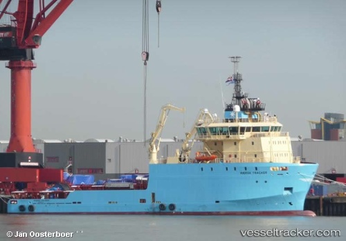
 DELTA TITAN
Current Status
Where is the vessel?
DELTA TITAN is currently in 40 nm E of Galeota Point, based on AIS data received less than 1h ago.
Latest AIS update:
Current position: 10.08080° N, 60.34464° W (40 nm E of Galeota Point)
Average speed (last 7 days): Loading…
Average speed (last 30 days): Loading…
Vessel profile: DELTA TITAN is a Anchor Handling Vessel with dimensions m x m.
This page combines live AIS, route history, probable destination signals, nearby traffic, and port activity for practical vessel monitoring.
The current position of vessel DELTA TITAN is 10.08080 lat / -60.34464 lng. Updated: 2026-04-25 22:58:13 UTCNearest reference points:
- 16 nm E of Galeota Point
- Near POINT LISAS
- Near Caroni
Currently sailing under the flag of Bahamas ![]()
Details:
Live Vessel DELTA TITAN Analytics (details, animations, etc.)
Recent AIS points (UTC):
2026-04-25 18:59:31 UTC · 10.08087, -60.34476 · SOG 0.3 kn · COG 163°2026-04-25 21:39:15 UTC · 10.08082, -60.34466 · SOG 0.3 kn · COG 151°
2026-04-25 22:51:55 UTC · 10.08080, -60.34464 · SOG 0.3 kn · COG 149°
2026-04-25 22:58:13 UTC · 10.08080, -60.34464 · SOG 0.3 kn · COG 149°