 vesseltracker.com
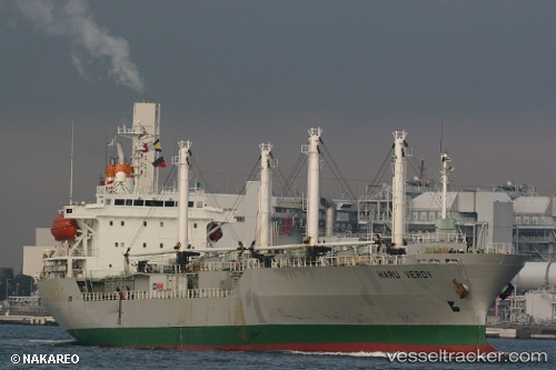
 CALLISTO
Current Status
Where is the vessel?
CALLISTO is currently in 23 nm SW of Port Etienne, based on AIS data received less than 1h ago.
Latest AIS update:
Current position: 20.32045° N, 17.25025° W (23 nm SW of Port Etienne)
Average speed (last 7 days): Loading…
Average speed (last 30 days): Loading…
Vessel profile: CALLISTO is a Reefer with dimensions m x m.
This page combines live AIS, route history, probable destination signals, nearby traffic, and port activity for practical vessel monitoring.
The current position of vessel CALLISTO is 20.32045 lat / -17.25025 lng. Updated: 2026-04-23 15:35:15 UTCNearest reference points:
- Near Nouadhibou
- 41 nm NW of Nouadhibou
- 108 nm SW of Port Etienne
Currently sailing under the flag of Bahamas ![]()
Details:
Live Vessel CALLISTO Analytics (details, animations, etc.)
Recent AIS points (UTC):
2026-04-23 08:47:08 UTC · 20.32047, -17.25105 · SOG 0.2 kn · COG 6°2026-04-23 13:14:08 UTC · 20.32040, -17.25103 · SOG 0.3 kn · COG 10°
2026-04-23 13:14:08 UTC · 20.32040, -17.25103 · SOG 0.3 kn · COG 10°
2026-04-23 15:35:15 UTC · 20.32045, -17.25025 · SOG 0.1 kn · COG 326°