 vesseltracker.com
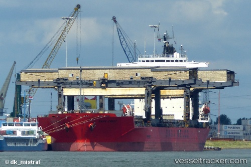
 SAGA CREST
Current Status
Where is the vessel?
SAGA CREST is currently in 127 nm W of Indian Rocks Beach, based on AIS data received less than 1h ago.
Latest AIS update:
Current position: 27.47670° N, 85.20650° W (127 nm W of Indian Rocks Beach)
Average speed (last 7 days): Loading…
Average speed (last 30 days): Loading…
Vessel profile: SAGA CREST is a General Cargo with dimensions m x m.
This page combines live AIS, route history, probable destination signals, nearby traffic, and port activity for practical vessel monitoring.
The current position of vessel SAGA CREST is 27.47670 lat / -85.20650 lng. Updated: 2026-05-15 22:15:36 UTCNearest reference points:
- 62 nm SW of Anna Maria
- 58 nm SW of Suwannee
- 78 nm SW of Boca Grande
Currently sailing under the flag of Bahamas ![]()
Details:
Live Vessel SAGA CREST Analytics (details, animations, etc.)
Recent AIS points (UTC):
2026-05-15 16:04:51 UTC · 27.29554, -86.66566 · SOG 13.3 kn · COG 81°2026-05-15 16:04:51 UTC · 27.29554, -86.66566 · SOG 13.3 kn · COG 81°
2026-05-15 16:04:51 UTC · 27.29554, -86.66566 · SOG 13.3 kn · COG 81°
2026-05-15 22:15:36 UTC · 27.47670, -85.20650 · SOG 12.4 kn · COG 80°