 vesseltracker.com
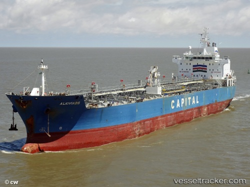
 ASTON MARINE
Current Status
Where is the vessel?
ASTON MARINE is currently in 48 nm N of Bartin, based on AIS data received about 1h ago.
Latest AIS update:
Current position: 42.47617° N, 32.09517° E (48 nm N of Bartin)
Average speed (last 7 days): Loading…
Average speed (last 30 days): Loading…
Vessel profile: ASTON MARINE is a Oil/Chemical Tanker with dimensions m x m.
This page combines live AIS, route history, probable destination signals, nearby traffic, and port activity for practical vessel monitoring.
The current position of vessel ASTON MARINE is 42.47617 lat / 32.09517 lng. Updated: 2026-05-16 17:30:10 UTCNearest reference points:
- Near Cide
- 27 nm NW of INEBOLU
- Near Erdemir
Currently sailing under the flag of Bahamas ![]()
Details:
Live Vessel ASTON MARINE Analytics (details, animations, etc.)
Recent AIS points (UTC):
2026-05-16 13:56:12 UTC · 42.80648, 33.03038 · SOG 12.9 kn · COG 243°2026-05-16 16:11:35 UTC · 42.59217, 32.43650 · SOG 13.1 kn · COG 243°
2026-05-16 16:20:06 UTC · 42.57997, 32.39955 · SOG 13 kn · COG 243°
2026-05-16 17:30:10 UTC · 42.47617, 32.09517 · SOG 12.5 kn · COG 243°