 vesseltracker.com
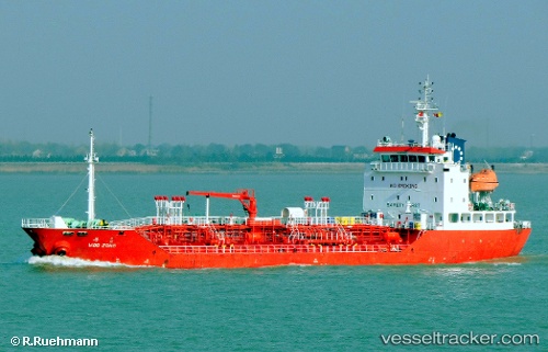
 HARMONY APOLLO
Current Status
Where is the vessel?
HARMONY APOLLO is currently in 31 nm SE of Ranai, based on AIS data received about 6h ago.
Latest AIS update:
Current position: 3.60832° N, 108.79653° E (31 nm SE of Ranai)
Average speed (last 7 days): Loading…
Average speed (last 30 days): Loading…
Vessel profile: HARMONY APOLLO is a Oil/Chemical Tanker with dimensions m x m.
This page combines live AIS, route history, probable destination signals, nearby traffic, and port activity for practical vessel monitoring.
The current position of vessel HARMONY APOLLO is 3.60832 lat / 108.79653 lng. Updated: 2026-04-23 18:14:25 UTCNearest reference points:
- 34 nm SE of Ranai
- 45 nm E of Terempa
- 46 nm E of Kakap Natuna Terminal
Currently sailing under the flag of Bahamas ![]()
Details:
Live Vessel HARMONY APOLLO Analytics (details, animations, etc.)
Recent AIS points (UTC):
2026-04-23 18:14:25 UTC · 3.60832, 108.79653 · SOG 11 kn · COG 219°2026-04-23 18:14:25 UTC · 3.60832, 108.79653 · SOG 11 kn · COG 219°
2026-04-23 18:14:25 UTC · 3.60832, 108.79653 · SOG 11 kn · COG 219°
2026-04-23 18:14:25 UTC · 3.60832, 108.79653 · SOG 11 kn · COG 219°