 vesseltracker.com
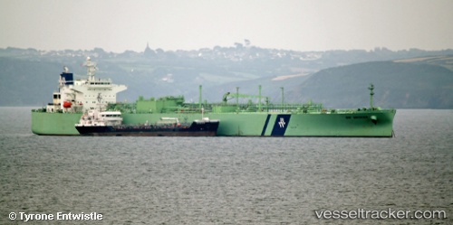
 SEABUS
Current Status
Where is the vessel?
SEABUS is currently in 200 nm W of LHOKNGA, based on AIS data received less than 1h ago.
Latest AIS update:
Current position: 5.84500° N, 91.91667° E (200 nm W of LHOKNGA)
Average speed (last 7 days): Loading…
Average speed (last 30 days): Loading…
Vessel profile: SEABUS is a Lpg Tanker with dimensions m x m.
This page combines live AIS, route history, probable destination signals, nearby traffic, and port activity for practical vessel monitoring.
The current position of vessel SEABUS is 5.84500 lat / 91.91667 lng. Updated: 2026-05-17 01:34:46 UTCNearest reference points:
- 172 nm W of LHOKNGA
- 160 nm W of Sebang
- 243 nm E of Abakaliki
Currently sailing under the flag of Bahamas ![]()
Details:
Live Vessel SEABUS Analytics (details, animations, etc.)
Recent AIS points (UTC):
2026-05-16 21:57:32 UTC · 6.02333, 92.71333 · SOG 13 kn · COG -1°2026-05-16 22:30:41 UTC · 5.99500, 92.59167 · SOG 13 kn · COG -1°
2026-05-17 00:25:44 UTC · 5.90346, 92.16894 · SOG 13.4 kn · COG 262°
2026-05-17 01:34:46 UTC · 5.84500, 91.91667 · SOG 13 kn · COG -1°