 vesseltracker.com
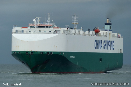
 Rcc Tianjin
Current Status
Where is the vessel?
Rcc Tianjin is currently in 23 nm SE of IZUHARA, based on AIS data received about 1h ago.
Latest AIS update:
Current position: 34.03863° N, 129.71078° E (23 nm SE of IZUHARA)
Average speed (last 7 days): Loading…
Average speed (last 30 days): Loading…
Vessel profile: Rcc Tianjin is a Vehicles Carrier with dimensions 177m x 32m.
This page combines live AIS, route history, probable destination signals, nearby traffic, and port activity for practical vessel monitoring.
The current position of vessel Rcc Tianjin is 34.03863 lat / 129.71078 lng. Updated: 2026-05-16 14:23:58 UTCNearest reference points:
- 22 nm SE of IZUHARA
- 12 nm SE of IZUHARA
- 17 nm NW of Tobo
Currently sailing under the flag of Bahamas ![]()
Rcc Tianjin built in 2008 year
Deadweight:
12300 tDetails:
Live Vessel Rcc Tianjin Analytics (details, animations, etc.)
Recent AIS points (UTC):
2026-05-16 10:43:45 UTC · 33.94731, 130.86710 · SOG 9.5 kn · COG 355°2026-05-16 12:07:06 UTC · 34.08971, 130.56265 · SOG 19.2 kn · COG 265°
2026-05-16 13:19:59 UTC · 34.06150, 130.10303 · SOG 18.6 kn · COG 263°
2026-05-16 14:23:58 UTC · 34.03863, 129.71078 · SOG 18 kn · COG 263°