 vesseltracker.com
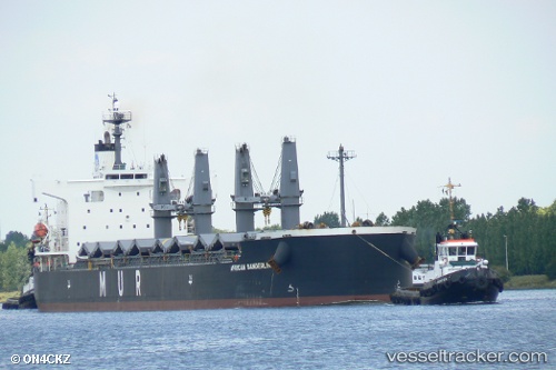
 African Sanderling
Current Status
Where is the vessel?
African Sanderling is currently in 86 nm SE of Xijiang, based on AIS data received about 9h ago.
Latest AIS update:
Current position: 20.21298° N, 115.89250° E (86 nm SE of Xijiang)
Average speed (last 7 days): Loading…
Average speed (last 30 days): Loading…
Vessel profile: African Sanderling is a Bulk Carrier with dimensions 190m x 32m.
This page combines live AIS, route history, probable destination signals, nearby traffic, and port activity for practical vessel monitoring.
The current position of vessel African Sanderling is 20.21298 lat / 115.89250 lng. Updated: 2026-05-14 13:09:58 UTCNearest reference points:
- 148 nm SE of Xijiang
- 49 nm S of SHANWEI
- 53 nm S of Jiazi
Currently sailing under the flag of Bahamas ![]()
African Sanderling built in 2008 year
Deadweight:
58798 tDetails:
Live Vessel African Sanderling Analytics (details, animations, etc.)
Recent AIS points (UTC):
2026-05-14 13:09:58 UTC · 20.21298, 115.89250 · SOG 8.8 kn · COG 31°2026-05-14 13:09:58 UTC · 20.21298, 115.89250 · SOG 8.8 kn · COG 31°
2026-05-14 13:09:58 UTC · 20.21298, 115.89250 · SOG 8.8 kn · COG 31°
2026-05-14 13:09:58 UTC · 20.21298, 115.89250 · SOG 8.8 kn · COG 31°