 vesseltracker.com
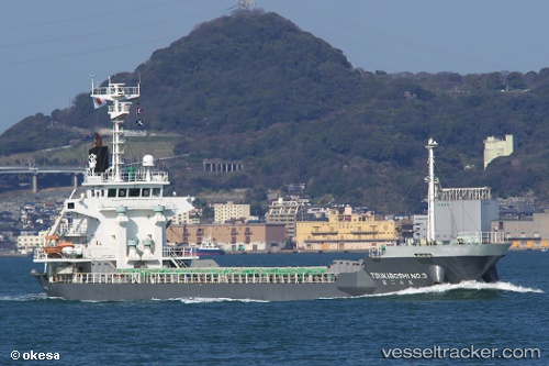
 HIROYOU
Current Status
Where is the vessel?
HIROYOU is currently in 15 nm NW of IKATA, based on AIS data received about 1h ago.
Latest AIS update:
Current position: 33.70359° N, 132.19426° E (15 nm NW of IKATA)
Average speed (last 7 days): Loading…
Average speed (last 30 days): Loading…
Vessel profile: HIROYOU is a General Cargo Ship with dimensions 13m x 79m.
This page combines live AIS, route history, probable destination signals, nearby traffic, and port activity for practical vessel monitoring.
The current position of vessel HIROYOU is 33.70359 lat / 132.19426 lng. Updated: 2026-05-15 07:48:23 UTCNearest reference points:
- 18 nm SE of HIKARI
- 14 nm SE of HIKARI
- 13 nm SE of HIKARI
Currently sailing under the flag of Belize ![]()
HIROYOU built in 2008 year
Deadweight:
3609 tDetails:
Live Vessel HIROYOU Analytics (details, animations, etc.)
Recent AIS points (UTC):
2026-05-15 04:58:56 UTC · 33.76500, 131.66833 · SOG 9 kn · COG -1°2026-05-15 05:47:42 UTC · 33.73578, 131.82086 · SOG 9.3 kn · COG 102°
2026-05-15 07:05:02 UTC · 33.69648, 132.05695 · SOG 9.3 kn · COG 106°
2026-05-15 07:48:23 UTC · 33.70359, 132.19426 · SOG 10.4 kn · COG 75°