 vesseltracker.com
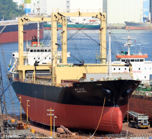
 Yama Haru
Current Status
Where is the vessel?
Yama Haru is currently in 140 nm SW of Lakshadweep, based on AIS data received about 1h ago.
Latest AIS update:
Current position: 8.53167° N, 71.29500° E (140 nm SW of Lakshadweep)
Average speed (last 7 days): Loading…
Average speed (last 30 days): Loading…
Vessel profile: Yama Haru is a General Cargo Ship with dimensions 98m x 100m.
This page combines live AIS, route history, probable destination signals, nearby traffic, and port activity for practical vessel monitoring.
The current position of vessel Yama Haru is 8.53167 lat / 71.29500 lng. Updated: 2026-05-15 11:32:36 UTCNearest reference points:
- 119 nm SE of Tinaquillo
- 130 nm W of Lakshadweep
- 45 nm SW of Kalpeni Island
Currently sailing under the flag of Belize ![]()
Yama Haru built in 1995 year
Deadweight:
7449 tDetails:
Live Vessel Yama Haru Analytics (details, animations, etc.)
Recent AIS points (UTC):
2026-05-15 08:14:31 UTC · 8.82667, 70.70333 · SOG 11 kn · COG -1°2026-05-15 09:50:32 UTC · 8.68333, 70.98667 · SOG 11 kn · COG -1°
2026-05-15 09:50:32 UTC · 8.68333, 70.98667 · SOG 11 kn · COG -1°
2026-05-15 11:32:36 UTC · 8.53167, 71.29500 · SOG 12 kn · COG -1°