 vesseltracker.com
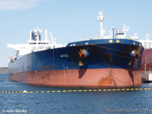
 LONG XIANG
Current Status
Where is the vessel?
LONG XIANG is currently in Near Changi, based on AIS data received about 1h ago.
Latest AIS update:
Current position: 1.28475° N, 103.95992° E (Near Changi)
Average speed (last 7 days): Loading…
Average speed (last 30 days): Loading…
Vessel profile: LONG XIANG is a Crude Oil Tanker with dimensions m x m.
This page combines live AIS, route history, probable destination signals, nearby traffic, and port activity for practical vessel monitoring.
The current position of vessel LONG XIANG is 1.28475 lat / 103.95992 lng. Updated: 2026-04-24 15:33:01 UTCNearest reference points:
- Near Changi
- Near Tampines
- Near Choa Chu Kang
Currently sailing under the flag of Barbados ![]()
Details:
Live Vessel LONG XIANG Analytics (details, animations, etc.)
Recent AIS points (UTC):
2026-04-24 11:41:59 UTC · 1.28482, 103.95985 · SOG 0 kn · COG 71°2026-04-24 13:45:00 UTC · 1.28512, 103.95975 · SOG 0 kn · COG 78°
2026-04-24 13:54:00 UTC · 1.28502, 103.95982 · SOG 0 kn · COG 77°
2026-04-24 15:33:01 UTC · 1.28475, 103.95992 · SOG 0 kn · COG 68°