 vesseltracker.com
 GLIMLIT
Current Status
Where is the vessel?
GLIMLIT is currently in Near Ma'allah, based on AIS data received less than 1h ago.
Latest AIS update:
Current position: 12.79654° N, 45.00958° E (Near Ma'allah)
Average speed (last 7 days): Loading…
Average speed (last 30 days): Loading…
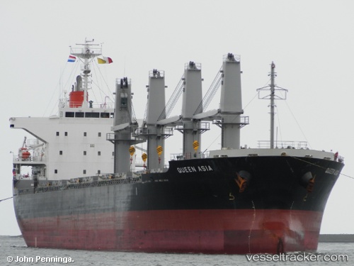
Vessel profile: GLIMLIT is a Bulk Carrier with dimensions m x m.
This page combines live AIS, route history, probable destination signals, nearby traffic, and port activity for practical vessel monitoring.
The current position of vessel GLIMLIT is 12.79654 lat / 45.00958 lng. Updated: 2026-05-15 17:42:39 UTCNearest reference points:
- Near Djibouti
Currently sailing under the flag of Barbados ![]()
Details:
Live Vessel GLIMLIT Analytics (details, animations, etc.)
Recent AIS points (UTC):
2026-05-15 13:48:37 UTC · 12.79652, 45.00957 · SOG 0 kn · COG 117°2026-05-15 15:40:29 UTC · 12.79651, 45.00957 · SOG 0 kn · COG 117°
2026-05-15 17:05:01 UTC · 12.79650, 45.00956 · SOG 0 kn · COG 117°
2026-05-15 17:42:39 UTC · 12.79654, 45.00958 · SOG 0 kn · COG 117°