 vesseltracker.com
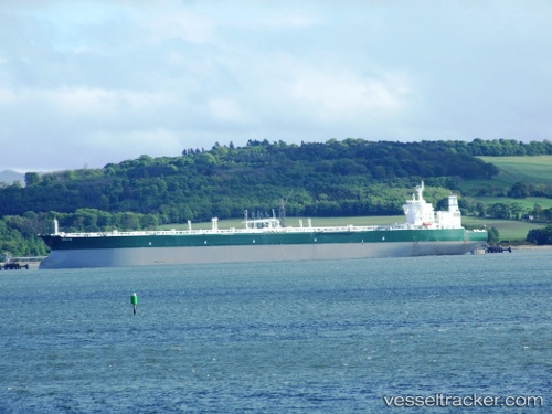
 ABIE
ABIE
Current Status
Where is the vessel?
ABIE is currently in 43 nm SE of Pinghai, based on AIS data received less than 1h ago.
Latest AIS update:
Current position: 21.97503° N, 115.22530° E (43 nm SE of Pinghai)
Average speed (last 7 days): Loading…
Average speed (last 30 days): Loading…
Vessel profile: ABIE is a Crude Oil Tanker with dimensions m x m.
This page combines live AIS, route history, probable destination signals, nearby traffic, and port activity for practical vessel monitoring.
The current position of vessel ABIE is 21.97503 lat / 115.22530 lng. Updated: 2026-05-15 13:22:15 UTCNearest reference points:
- 49 nm S of SHANWEI
- 14 nm S of Pinghai
- 22 nm E of Wan Tsai
Currently sailing under the flag of Barbados ![]()
Details:
Live Vessel ABIE Analytics (details, animations, etc.)
Recent AIS points (UTC):
2026-05-15 10:27:04 UTC · 21.91671, 115.24701 · SOG 1.5 kn · COG 310°2026-05-15 11:03:04 UTC · 21.93008, 115.24062 · SOG 1.3 kn · COG 309°
2026-05-15 11:38:25 UTC · 21.94198, 115.23555 · SOG 1.3 kn · COG 340°
2026-05-15 13:22:15 UTC · 21.97503, 115.22530 · SOG 1.1 kn · COG 319°