 vesseltracker.com
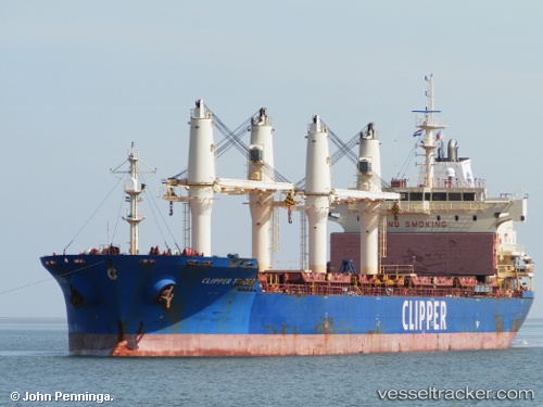
 SOLENT
Current Status
Where is the vessel?
SOLENT is currently in 45 nm NW of Stadlandet, based on AIS data received about 1h ago.
Latest AIS update:
Current position: 62.59019° N, 4.01580° E (45 nm NW of Stadlandet)
Average speed (last 7 days): Loading…
Average speed (last 30 days): Loading…
Vessel profile: SOLENT is a Bulk Carrier with dimensions m x m.
This page combines live AIS, route history, probable destination signals, nearby traffic, and port activity for practical vessel monitoring.
The current position of vessel SOLENT is 62.59019 lat / 4.01580 lng. Updated: 2026-05-14 05:46:31 UTCNearest reference points:
- Near MALOY
- Near RAUDEBERG
- Near Gursken
Currently sailing under the flag of Barbados ![]()
Details:
Live Vessel SOLENT Analytics (details, animations, etc.)
Recent AIS points (UTC):
2026-05-14 01:30:12 UTC · 63.29905, 4.39274 · SOG 11.1 kn · COG 205°2026-05-14 03:43:02 UTC · 62.93918, 4.04794 · SOG 10.3 kn · COG 204°
2026-05-14 04:32:11 UTC · 62.80024, 4.03900 · SOG 10.4 kn · COG 184°
2026-05-14 05:46:31 UTC · 62.59019, 4.01580 · SOG 10.4 kn · COG 184°