 vesseltracker.com
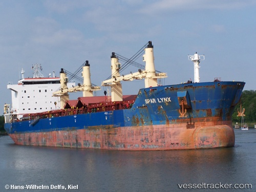
 KING GALLOP
Current Status
Where is the vessel?
KING GALLOP is currently in Near Fujairah, based on AIS data received less than 1h ago.
Latest AIS update:
Current position: 25.19531° N, 56.46463° E (Near Fujairah)
Average speed (last 7 days): Loading…
Average speed (last 30 days): Loading…
Vessel profile: KING GALLOP is a Bulk Carrier with dimensions m x m.
This page combines live AIS, route history, probable destination signals, nearby traffic, and port activity for practical vessel monitoring.
The current position of vessel KING GALLOP is 25.19531 lat / 56.46463 lng. Updated: 2026-04-24 04:11:13 UTCNearest reference points:
- Near Fujairah
- Near KHORFAKKAN
- Near Offshore Fujairah
Currently sailing under the flag of Barbados ![]()
Details:
Live Vessel KING GALLOP Analytics (details, animations, etc.)
Recent AIS points (UTC):
2026-04-24 01:02:11 UTC · 25.19498, 56.46419 · SOG 0.1 kn · COG 152°2026-04-24 02:32:12 UTC · 25.19513, 56.46470 · SOG 0.1 kn · COG 161°
2026-04-24 04:00:55 UTC · 25.19500, 56.46333 · SOG 0 kn · COG -1°
2026-04-24 04:11:13 UTC · 25.19531, 56.46463 · SOG 0.1 kn · COG 163°