 vesseltracker.com
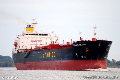
 LUCKY 7
Current Status
Where is the vessel?
LUCKY 7 is currently in Near Westport/Port Klang, based on AIS data received less than 1h ago.
Latest AIS update:
Current position: 2.97236° N, 101.31725° E (Near Westport/Port Klang)
Average speed (last 7 days): Loading…
Average speed (last 30 days): Loading…
Vessel profile: LUCKY 7 is a Chemical Tanker with dimensions m x m.
This page combines live AIS, route history, probable destination signals, nearby traffic, and port activity for practical vessel monitoring.
The current position of vessel LUCKY 7 is 2.97236 lat / 101.31725 lng. Updated: 2026-04-24 20:05:36 UTCNearest reference points:
- Near Westport/Port Klang
- Near PORT KLANG
- Near Port Klang (Ferry Port)
Currently sailing under the flag of Barbados ![]()
Details:
Live Vessel LUCKY 7 Analytics (details, animations, etc.)
Recent AIS points (UTC):
2026-04-24 16:53:36 UTC · 2.97239, 101.31728 · SOG 0.1 kn · COG 40°2026-04-24 17:53:35 UTC · 2.97234, 101.31729 · SOG 0 kn · COG 40°
2026-04-24 19:44:36 UTC · 2.97233, 101.31722 · SOG 0 kn · COG 41°
2026-04-24 20:05:36 UTC · 2.97236, 101.31725 · SOG 0 kn · COG 41°