 vesseltracker.com
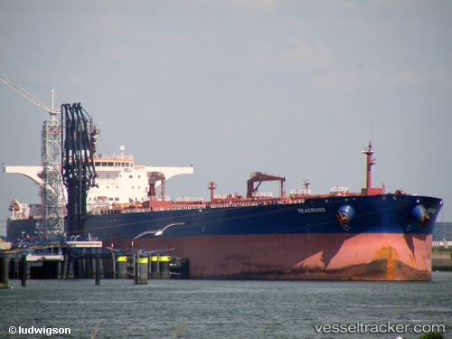
 GOOD LUCK
Current Status
Where is the vessel?
GOOD LUCK is currently in 17 nm E of Bnei Darom, based on AIS data received less than 1h ago.
Latest AIS update:
Current position: 31.74179° N, 32.00144° E (17 nm E of Bnei Darom)
Average speed (last 7 days): Loading…
Average speed (last 30 days): Loading…
Vessel profile: GOOD LUCK is a Crude Oil Tanker with dimensions m x m.
This page combines live AIS, route history, probable destination signals, nearby traffic, and port activity for practical vessel monitoring.
The current position of vessel GOOD LUCK is 31.74179 lat / 32.00144 lng. Updated: 2026-04-29 16:47:07 UTCNearest reference points:
- 21 nm N of Port Said
- Near Damietta
- 15 nm N of Port Said
Currently sailing under the flag of Barbados ![]()
Details:
Live Vessel GOOD LUCK Analytics (details, animations, etc.)
Recent AIS points (UTC):
2026-04-29 13:27:13 UTC · 31.21479, 32.34175 · SOG 6.3 kn · COG 15°2026-04-29 14:26:33 UTC · 31.41666, 32.40383 · SOG 12.4 kn · COG 13°
2026-04-29 15:48:57 UTC · 31.59083, 32.17444 · SOG 12.9 kn · COG 316°
2026-04-29 16:47:07 UTC · 31.74179, 32.00144 · SOG 12.8 kn · COG 313°