 vesseltracker.com
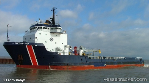
 THEBAUDSEA
Current Status
Where is the vessel?
THEBAUDSEA is currently in 57 nm W of Terempa, based on AIS data received less than 1h ago.
Latest AIS update:
Current position: 3.05341° N, 105.28284° E (57 nm W of Terempa)
Average speed (last 7 days): Loading…
Average speed (last 30 days): Loading…
Vessel profile: THEBAUDSEA is a Offshore Supply Ship with dimensions m x m.
This page combines live AIS, route history, probable destination signals, nearby traffic, and port activity for practical vessel monitoring.
The current position of vessel THEBAUDSEA is 3.05341 lat / 105.28284 lng. Updated: 2026-05-15 10:14:23 UTCNearest reference points:
- 80 nm SW of Terempa
- 39 nm SE of Belida Terminal
- 26 nm E of Belida Terminal
Currently sailing under the flag of Barbados ![]()
Details:
Live Vessel THEBAUDSEA Analytics (details, animations, etc.)
Recent AIS points (UTC):
2026-05-14 15:55:21 UTC · 5.97605, 107.45632 · SOG 12.4 kn · COG 219°2026-05-15 07:45:22 UTC · 3.33914, 105.39454 · SOG 12.2 kn · COG 222°
2026-05-15 08:04:42 UTC · 3.28773, 105.35245 · SOG 12.4 kn · COG 222°
2026-05-15 10:14:23 UTC · 3.05341, 105.28284 · SOG 11.7 kn · COG 203°