 vesseltracker.com
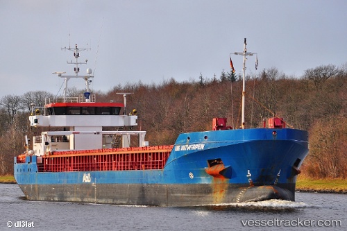
 Fluvius Tavy
Current Status
Where is the vessel?
Fluvius Tavy is currently in 10 nm NE of SCARBOROUGH, based on AIS data received less than 1h ago.
Latest AIS update:
Current position: 54.40510° N, 0.17986° W (10 nm NE of SCARBOROUGH)
Average speed (last 7 days): Loading…
Average speed (last 30 days): Loading…
Vessel profile: Fluvius Tavy is a General Cargo Ship with dimensions 90m x 14m.
This page combines live AIS, route history, probable destination signals, nearby traffic, and port activity for practical vessel monitoring.
The current position of vessel Fluvius Tavy is 54.40510 lat / -0.17986 lng. Updated: 2026-05-02 16:50:50 UTCNearest reference points:
- Near Flamborough
- 28 nm N of Weaverthorpe
- Near Hull
Currently sailing under the flag of Barbados ![]()
Fluvius Tavy built in 2009 year
Deadweight:
4200 tDetails:
Live Vessel Fluvius Tavy Analytics (details, animations, etc.)
Recent AIS points (UTC):
2026-05-02 13:35:53 UTC · 54.66881, -1.07127 · SOG 10.5 kn · COG 118°2026-05-02 14:12:21 UTC · 54.63851, -0.89437 · SOG 10.7 kn · COG 107°
2026-05-02 16:19:50 UTC · 54.48112, -0.28451 · SOG 11.4 kn · COG 138°
2026-05-02 16:50:50 UTC · 54.40510, -0.17986 · SOG 11.3 kn · COG 143°