 vesseltracker.com
 OBIRIX
Current Status
Where is the vessel?
OBIRIX is currently in Open sea, approx. 490 nm off the nearest listed port, based on AIS data received less than 1h ago.
Latest AIS update:
Current position: 11.95500° N, 48.05667° W (Open sea, approx. 490 nm off the nearest listed port)
Average speed (last 7 days): Loading…
Average speed (last 30 days): Loading…
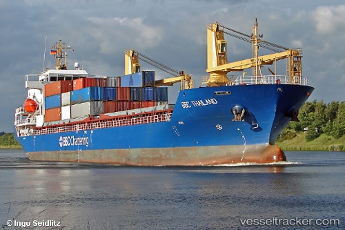
Vessel profile: OBIRIX is a General Cargo Ship with dimensions 116m x 18m.
This page combines live AIS, route history, probable destination signals, nearby traffic, and port activity for practical vessel monitoring.
The current position of vessel OBIRIX is 11.95500 lat / -48.05667 lng. Updated: 2026-05-13 19:08:57 UTCNearest reference points:
- Open sea, approx. 490 nm off the nearest listed port
- Open sea, approx. 491 nm off the nearest listed port
- Open sea, approx. 495 nm off the nearest listed port
Currently sailing under the flag of Barbados ![]()
OBIRIX built in 2008 year
Deadweight:
7966 tDetails:
Live Vessel OBIRIX Analytics (details, animations, etc.)
Recent AIS points (UTC):
2026-05-13 15:20:59 UTC · 12.19167, -47.54833 · SOG 8 kn · COG -1°2026-05-13 16:29:57 UTC · 12.12167, -47.70333 · SOG 8 kn · COG -1°
2026-05-13 18:21:09 UTC · 12.00737, -47.95209 · SOG 8.9 kn · COG 239°
2026-05-13 19:08:57 UTC · 11.95500, -48.05667 · SOG 8 kn · COG -1°