 vesseltracker.com
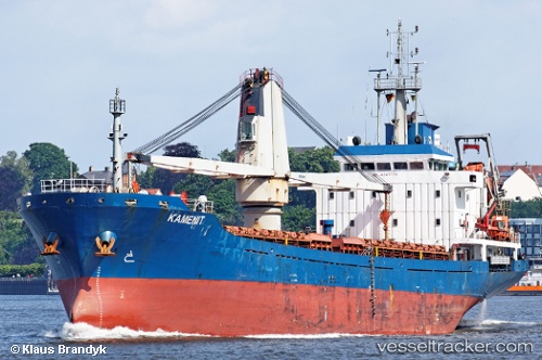
 HAGRID
Current Status
Where is the vessel?
HAGRID is currently in Near Savona, based on AIS data received about 1h ago.
Latest AIS update:
Current position: 44.31460° N, 8.49598° E (Near Savona)
Average speed (last 7 days): Loading…
Average speed (last 30 days): Loading…
Vessel profile: HAGRID is a General Cargo with dimensions m x m.
This page combines live AIS, route history, probable destination signals, nearby traffic, and port activity for practical vessel monitoring.
The current position of vessel HAGRID is 44.31460 lat / 8.49598 lng. Updated: 2026-05-14 11:37:05 UTCNearest reference points:
- Near Savona
- Near VARAZZE
- Near Finale Ligure
Currently sailing under the flag of Barbados ![]()
Details:
Live Vessel HAGRID Analytics (details, animations, etc.)
Recent AIS points (UTC):
2026-05-14 08:23:41 UTC · 44.31454, 8.49596 · SOG 0 kn · COG 228°2026-05-14 10:11:40 UTC · 44.31459, 8.49596 · SOG 0 kn · COG 230°
2026-05-14 10:38:37 UTC · 44.31454, 8.49597 · SOG 0 kn · COG 228°
2026-05-14 11:37:05 UTC · 44.31460, 8.49598 · SOG 0 kn · COG 228°