 vesseltracker.com
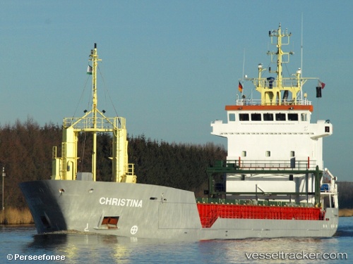
 DAY BLUE
Current Status
Where is the vessel?
DAY BLUE is currently in 27 nm E of Sainte-Lucie-de-Porto-Vecchio, based on AIS data received about 1h ago.
Latest AIS update:
Current position: 41.64992° N, 9.95921° E (27 nm E of Sainte-Lucie-de-Porto-Vecchio)
Average speed (last 7 days): Loading…
Average speed (last 30 days): Loading…
Vessel profile: DAY BLUE is a General Cargo Ship with dimensions 90m x 13m.
This page combines live AIS, route history, probable destination signals, nearby traffic, and port activity for practical vessel monitoring.
The current position of vessel DAY BLUE is 41.64992 lat / 9.95921 lng. Updated: 2026-05-01 20:21:19 UTCNearest reference points:
- 16 nm NE of Golfo Aranci
- Near Golfo Aranci
- Near La Maddalena
Currently sailing under the flag of Barbados ![]()
DAY BLUE built in 1998 year
Deadweight:
4743 tDetails:
Live Vessel DAY BLUE Analytics (details, animations, etc.)
Recent AIS points (UTC):
2026-05-01 15:57:52 UTC · 40.98775, 9.97570 · SOG 8.9 kn · COG 2°2026-05-01 17:49:59 UTC · 41.27269, 9.97345 · SOG 9.3 kn · COG 357°
2026-05-01 19:53:50 UTC · 41.58378, 9.96014 · SOG 8.9 kn · COG 2°
2026-05-01 20:21:19 UTC · 41.64992, 9.95921 · SOG 8.5 kn · COG 2°