 vesseltracker.com
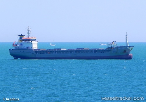
 NS EVE
Current Status
Where is the vessel?
NS EVE is currently in 20 nm NE of INEBOLU, based on AIS data received about 8h ago.
Latest AIS update:
Current position: 42.14266° N, 34.15883° E (20 nm NE of INEBOLU)
Average speed (last 7 days): Loading…
Average speed (last 30 days): Loading…
Vessel profile: NS EVE is a General Cargo with dimensions m x m.
This page combines live AIS, route history, probable destination signals, nearby traffic, and port activity for practical vessel monitoring.
The current position of vessel NS EVE is 42.14266 lat / 34.15883 lng. Updated: 2026-04-28 10:39:56 UTCNearest reference points:
- 18 nm NW of INEBOLU
- 27 nm NW of INEBOLU
- 51 nm N of Sinop
Currently sailing under the flag of Barbados ![]()
Details:
Live Vessel NS EVE Analytics (details, animations, etc.)
Recent AIS points (UTC):
2026-04-28 10:39:56 UTC · 42.14266, 34.15883 · SOG 7.7 kn · COG 84°2026-04-28 10:39:56 UTC · 42.14266, 34.15883 · SOG 7.7 kn · COG 84°
2026-04-28 10:39:56 UTC · 42.14266, 34.15883 · SOG 7.7 kn · COG 84°
2026-04-28 10:39:56 UTC · 42.14266, 34.15883 · SOG 7.7 kn · COG 84°