 vesseltracker.com
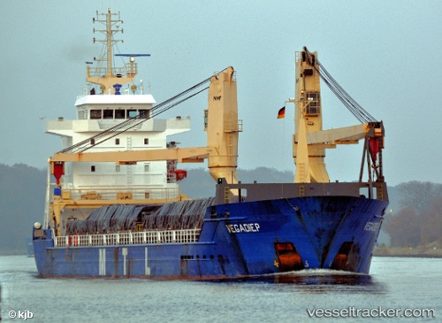
 ANKA BLUE
Current Status
Where is the vessel?
ANKA BLUE is currently in 18 nm N of Capraia, based on AIS data received about 1h ago.
Latest AIS update:
Current position: 43.35122° N, 9.81487° E (18 nm N of Capraia)
Average speed (last 7 days): Loading…
Average speed (last 30 days): Loading…
Vessel profile: ANKA BLUE is a General Cargo with dimensions m x m.
This page combines live AIS, route history, probable destination signals, nearby traffic, and port activity for practical vessel monitoring.
The current position of vessel ANKA BLUE is 43.35122 lat / 9.81487 lng. Updated: 2026-04-23 22:22:15 UTCNearest reference points:
- 16 nm W of Marina di Pisa
- 12 nm N of Macinaggio
- 17 nm W of Marina di Pisa
Currently sailing under the flag of Barbados ![]()
Details:
Live Vessel ANKA BLUE Analytics (details, animations, etc.)
Recent AIS points (UTC):
2026-04-23 19:42:37 UTC · 43.81087, 9.90330 · SOG 10.9 kn · COG 210°2026-04-23 19:51:57 UTC · 43.78586, 9.88393 · SOG 11 kn · COG 210°
2026-04-23 21:36:56 UTC · 43.47944, 9.76936 · SOG 10.9 kn · COG 179°
2026-04-23 22:22:15 UTC · 43.35122, 9.81487 · SOG 10.7 kn · COG 151°