 vesseltracker.com
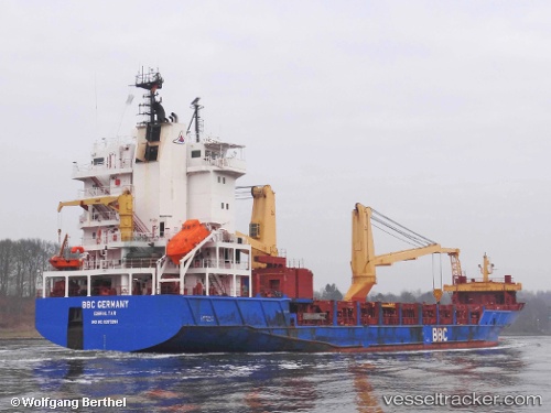
 OCEAN MARY
Current Status
Where is the vessel?
OCEAN MARY is currently in 113 nm NE of Nedroma, based on AIS data received about 1h ago.
Latest AIS update:
Current position: 35.73551° N, 12.55306° W (113 nm NE of Nedroma)
Average speed (last 7 days): Loading…
Average speed (last 30 days): Loading…
Vessel profile: OCEAN MARY is a General Cargo with dimensions m x m.
This page combines live AIS, route history, probable destination signals, nearby traffic, and port activity for practical vessel monitoring.
The current position of vessel OCEAN MARY is 35.73551 lat / -12.55306 lng. Updated: 2026-04-23 14:01:14 UTCNearest reference points:
- 116 nm NE of Nedroma
- 115 nm E of Nedroma
- 118 nm NE of Nedroma
Currently sailing under the flag of Barbados ![]()
Details:
Live Vessel OCEAN MARY Analytics (details, animations, etc.)
Recent AIS points (UTC):
2026-04-23 10:48:59 UTC · 36.32386, -12.36937 · SOG 11.1 kn · COG -1°2026-04-23 11:10:01 UTC · 36.25762, -12.39523 · SOG 11.6 kn · COG 196°
2026-04-23 13:24:13 UTC · 35.84749, -12.51395 · SOG 11.6 kn · COG 198°
2026-04-23 14:01:14 UTC · 35.73551, -12.55306 · SOG 11.2 kn · COG 198°