 vesseltracker.com
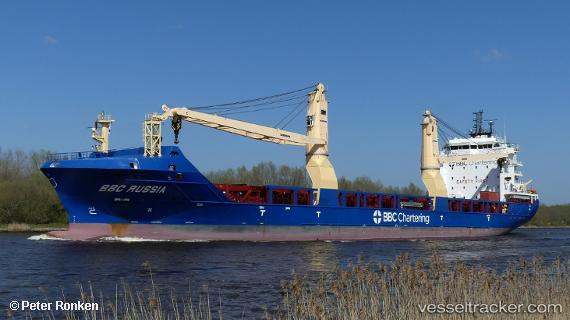
 BERTHE A. DESGAGNES
Current Status
Where is the vessel?
BERTHE A. DESGAGNES is currently in Open sea, approx. 426 nm off the nearest listed port, based on AIS data received less than 1h ago.
Latest AIS update:
Current position: 29.71442° N, 51.29362° W (Open sea, approx. 426 nm off the nearest listed port)
Average speed (last 7 days): Loading…
Average speed (last 30 days): Loading…
Vessel profile: BERTHE A. DESGAGNES is a Cargo with dimensions m x m.
This page combines live AIS, route history, probable destination signals, nearby traffic, and port activity for practical vessel monitoring.
The current position of vessel BERTHE A. DESGAGNES is 29.71442 lat / -51.29362 lng. Updated: 2026-04-25 15:32:51 UTCNearest reference points:
- Open sea, approx. 426 nm off the nearest listed port
- Open sea, approx. 427 nm off the nearest listed port
- Open sea, approx. 430 nm off the nearest listed port
Currently sailing under the flag of Barbados ![]()
Details:
Live Vessel BERTHE A. DESGAGNES Analytics (details, animations, etc.)
Recent AIS points (UTC):
2026-04-25 11:53:26 UTC · 29.28500, -52.09833 · SOG 13 kn · COG -1°2026-04-25 13:01:41 UTC · 29.42303, -51.85262 · SOG 13.5 kn · COG 58°
2026-04-25 13:56:54 UTC · 29.53279, -51.65309 · SOG 13.4 kn · COG 58°
2026-04-25 15:32:51 UTC · 29.71442, -51.29362 · SOG 13.9 kn · COG 61°