 vesseltracker.com
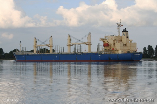
 DSM HARBOUR
Current Status
Where is the vessel?
DSM HARBOUR is currently in 52 nm SW of Cape Of Good Hope, based on AIS data received about 1h ago.
Latest AIS update:
Current position: 34.97966° S, 17.63717° E (52 nm SW of Cape Of Good Hope)
Average speed (last 7 days): Loading…
Average speed (last 30 days): Loading…
Vessel profile: DSM HARBOUR is a Bulk Carrier with dimensions m x m.
This page combines live AIS, route history, probable destination signals, nearby traffic, and port activity for practical vessel monitoring.
The current position of vessel DSM HARBOUR is -34.97966 lat / 17.63717 lng. Updated: 2026-04-28 23:18:32 UTCNearest reference points:
- 18 nm SW of Cape Of Good Hope
- Near HOUT BAY
- 15 nm SE of Moorreesburg
Currently sailing under the flag of Barbados ![]()
Details:
Live Vessel DSM HARBOUR Analytics (details, animations, etc.)
Recent AIS points (UTC):
2026-04-28 19:25:46 UTC · -34.94347, 16.90484 · SOG 9.2 kn · COG -1°2026-04-28 21:51:40 UTC · -34.96833, 17.36500 · SOG 9 kn · COG -1°
2026-04-28 23:05:44 UTC · -34.97972, 17.59753 · SOG 9.4 kn · COG -1°
2026-04-28 23:18:32 UTC · -34.97966, 17.63717 · SOG 9.9 kn · COG -1°