 vesseltracker.com
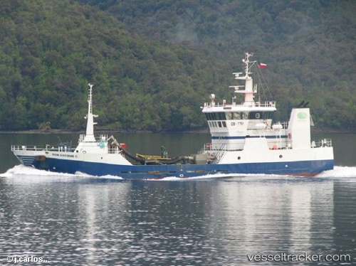
Colby Perce
Current StatusWhere is the vessel?
Colby Perce is currently in Near Pennfield Ridge, based on AIS data received less than 1h ago.
Latest AIS update:
Current position: 45.06833° N, 66.73833° W (Near Pennfield Ridge)
Average speed (last 7 days): Loading…
Average speed (last 30 days): Loading…
Vessel profile: Colby Perce is a Fish Carrier with dimensions 11m x 40m.
This page combines live AIS, route history, probable destination signals, nearby traffic, and port activity for practical vessel monitoring.
The current position of vessel Colby Perce is 45.06833 lat / -66.73833 lng. Updated: 2026-04-26 07:09:48 UTCNearest reference points:
- Near St. John
- 16 nm W of Tiverton
- Near Tiverton
Details:
Live Vessel Colby Perce Analytics (details, animations, etc.)
Recent AIS points (UTC):
2026-04-26 04:21:51 UTC · 45.06833, -66.73833 · SOG 0 kn · COG -1°2026-04-26 04:27:54 UTC · 45.06833, -66.73833 · SOG 0 kn · COG -1°
2026-04-26 05:54:59 UTC · 45.06925, -66.73900 · SOG 0 kn · COG 118°
2026-04-26 07:09:48 UTC · 45.06833, -66.73833 · SOG 0 kn · COG -1°