 vesseltracker.com
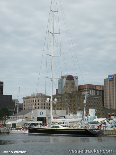
Ningaloo
Current StatusWhere is the vessel?
Ningaloo is currently in Near Falmouth, based on AIS data received less than 1h ago.
Latest AIS update:
Current position: 50.15194° N, 5.06064° W (Near Falmouth)
Average speed (last 7 days): Loading…
Average speed (last 30 days): Loading…
Vessel profile: Ningaloo is a Service Ship with dimensions 9m x 45m.
This page combines live AIS, route history, probable destination signals, nearby traffic, and port activity for practical vessel monitoring.
The current position of vessel Ningaloo is 50.15194 lat / -5.06064 lng. Updated: 2026-04-25 04:20:40 UTCNearest reference points:
- Near Falmouth
- Near Flushing
- Near Cadgwith
Details:
Live Vessel Ningaloo Analytics (details, animations, etc.)
Recent AIS points (UTC):
2026-04-24 23:53:42 UTC · 50.15196, -5.06062 · SOG 0 kn · COG 141°2026-04-25 01:29:39 UTC · 50.15197, -5.06063 · SOG 0 kn · COG 141°
2026-04-25 01:32:44 UTC · 50.15196, -5.06064 · SOG 0 kn · COG 141°
2026-04-25 04:20:40 UTC · 50.15194, -5.06064 · SOG 0 kn · COG 141°