 vesseltracker.com
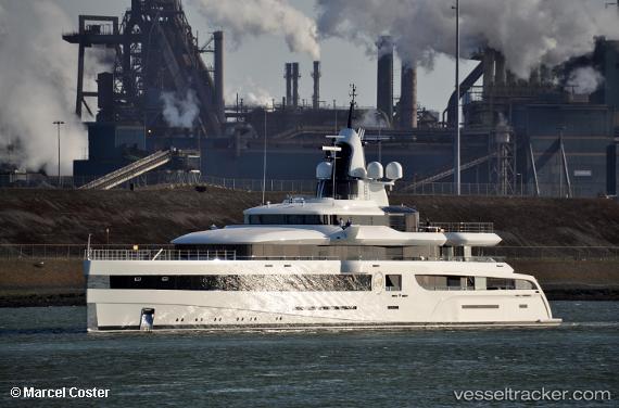
 Lady S
Current Status
Where is the vessel?
Lady S is currently in Near Cannes, based on AIS data received less than 1h ago.
Latest AIS update:
Current position: 43.52896° N, 7.06078° E (Near Cannes)
Average speed (last 7 days): Loading…
Average speed (last 30 days): Loading…
Vessel profile: Lady S is a Sailing Vessel with dimensions 93m x 93m.
This page combines live AIS, route history, probable destination signals, nearby traffic, and port activity for practical vessel monitoring.
The current position of vessel Lady S is 43.52896 lat / 7.06078 lng. Updated: 2026-05-16 03:20:44 UTCNearest reference points:
- Near GOLFE JUAN
- Near Juan-les-Pins
- Near Golfe-Juan
Currently sailing under the flag of Cayman Is ![]()
Details:
Live Vessel Lady S Analytics (details, animations, etc.)
Recent AIS points (UTC):
2026-05-15 23:44:42 UTC · 43.52882, 7.05968 · SOG 0.2 kn · COG 85°2026-05-16 01:23:45 UTC · 43.52926, 7.06025 · SOG 0.1 kn · COG 170°
2026-05-16 01:47:41 UTC · 43.52897, 7.06111 · SOG 0.2 kn · COG 201°
2026-05-16 03:20:44 UTC · 43.52896, 7.06078 · SOG 0 kn · COG 120°